Indonesia Updates National Coral and Seagrass Map to Strengthen Marine Conservation and Climate Action
Indonesia has strengthened its marine science foundation with the completion of the National Coral Reef and Seagrass Map 2025, a major update that responds to the growing need for accurate, high-resolution data to support blue economy development, coastal protection, and climate action.
The updated mapping addresses a long-standing gap in Indonesia’s marine spatial data. As the country expands its blue carbon agenda and ecosystem-based ocean governance, more precise information on coral reefs and seagrass ecosystems has become essential for planning conservation areas, managing fisheries sustainably, and improving carbon accounting for climate commitments.
The map was developed through a broad scientific collaboration under the Indonesian Seagrass Mapping Partnership (ISMP), involving the Ministry of Marine Affairs and Fisheries (KKP), Universitas Gadjah Mada (UGM), National Research and Innovation Agency (BRIN), Geospatial Information Agency (BIG), Universitas Hasanuddin, and The University of Queensland, with support from the David and Lucile Packard Foundation. The initiative is also supported by Yayasan Konservasi Alam Nusantara (YKAN) through the Koralestari Program, funded by the Global Fund for Coral Reefs (GFCR).
The National Coral Reef and Seagrass Map 2025, officially released on 4 December 2025. According to Minister of Marine Affairs and Fisheries Sakti Wahyu Trenggono, the updated map is a strategic foundation for implementing blue carbon governance and strengthening Indonesia’s response to climate change. It also supports the country’s regulatory framework on carbon economic instruments and greenhouse gas emission control, ensuring that marine policy is driven by credible scientific evidence.
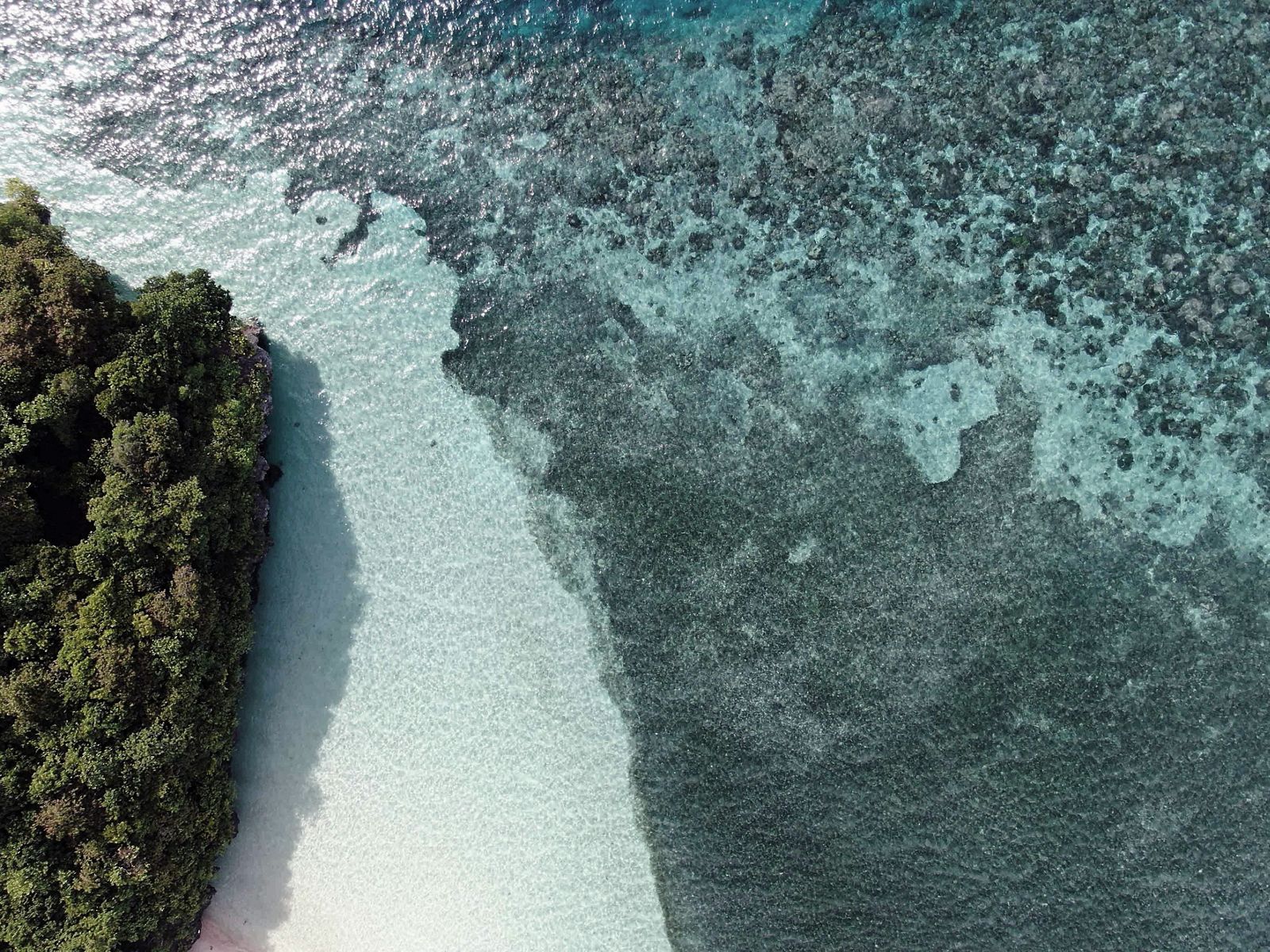
The updated dataset significantly improves the previous 2013 national map by increasing spatial resolution from 1:250,000 to 1:50,000. It integrates higher-quality satellite imagery with extensive field verification across Indonesia’s archipelago. Since 2022, large scale ground truthing has been conducted, collecting hundreds of thousands of data points to improve accuracy in identifying coral reef structures and seagrass distribution.
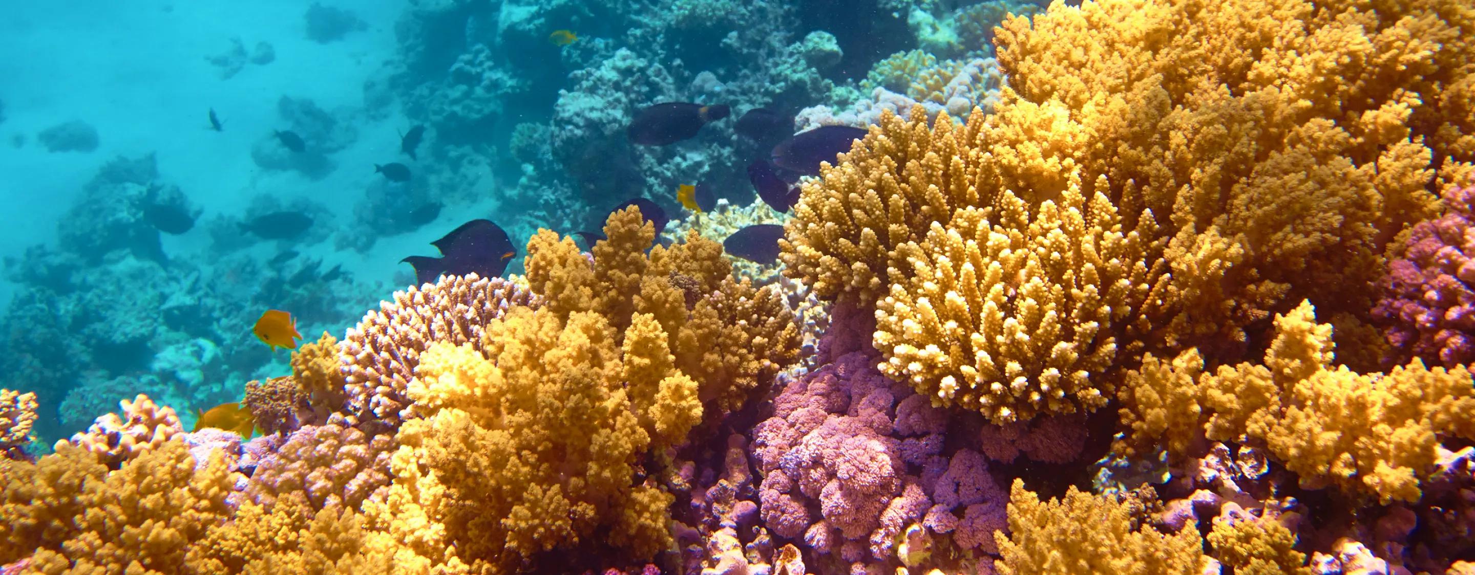
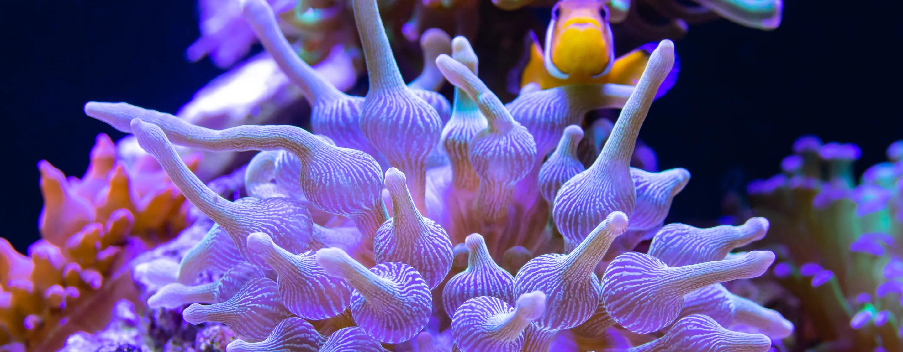
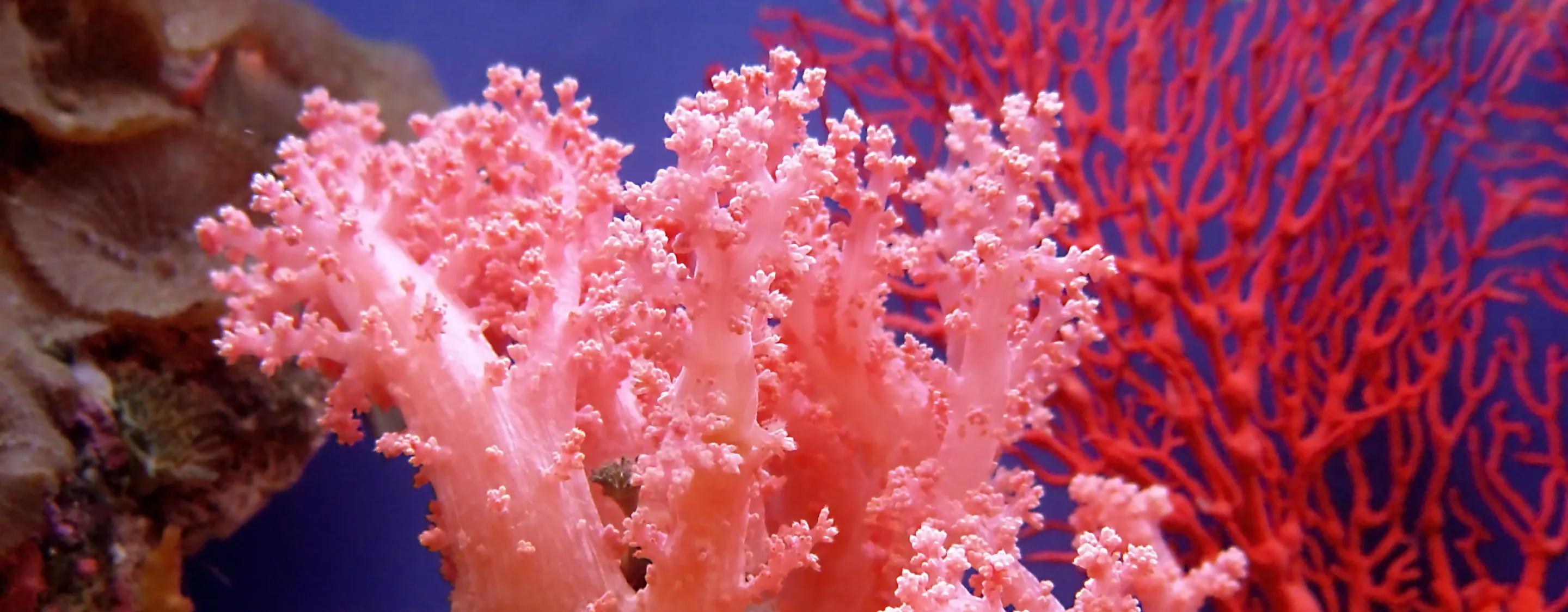
This improvement provides a more reliable baseline for understanding Indonesia’s marine ecosystems, which are among the most biodiverse in the world. The new data estimates around 2.3 million hectares of coral reef ecosystems nationwide, including approximately 838,000 hectares of hard coral and 660,000 hectares of seagrass meadows.
These ecosystems play a central role in Indonesia’s coastal resilience and economy. Coral reefs act as natural barriers that reduce wave energy and protect shorelines from erosion, while also supporting fisheries and marine tourism. Seagrass meadows contribute significantly to carbon storage, making them important natural assets in global climate mitigation efforts due to their long-term carbon sequestration capacity.
Beyond ecological value, the updated map strengthens the scientific basis for policy decisions. It will be used to support marine spatial planning, designation of conservation zones, ecosystem-based fisheries management, and sustainable tourism development.